7 Struggles You Have When Using Google Maps In Lebanon
Everywhere else in the world, Google Maps is a great way to navigate around but in Lebanon, the app tends to be a nuisance. Here are only some of the things we experience:
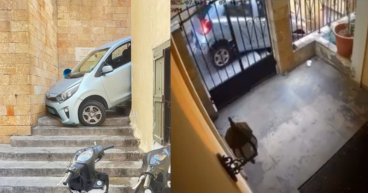
1) Tari2 msakra 40% of the time

The route duration is 15 min when it usually takes 30 min. Then, you realize it is because of a closed road today. But you can’t blame Google Maps, keeping up with road closings in this country is an extreme sport.
2) The app doesn’t predict the 3aj2a like your instinct does.

It is a known fact that the traffic on Clemenceau lasts at least 20 minutes at 5 PM, so don’t tell me this is the shortest route. Also, trying to send me to Ghobeiri on the way to Hamra? Nice try, Google.
3) Maps doesn’t master the zwerib like you do.
Me: …
Google Maps: Take the highway or the main road.
5) The automated voice is distracting.

The pronunciation of Lebanese streets in English is funny, Sagesse becomes Saguesseh and Mirna Chalouhi is Merna Tchalouhy. It becomes a distraction when you’ve picked a hot British accent to navigate you. True Story.
6) Uber Drivers X Google Maps.
Don’t act like you don’t know where Mar Mikhael is and say the Map asked you to go to Sin el Fil on our route because that’s just abusing the maps and my credit card. “Bet delline 3al tari2 ana ma baaref el manta2a hon”
7) Google Maps’ opening hours are not accurate.

It is a big fat lie when Google Maps warns you that where you’re headed is going to be closed when you get there – especially when you’re sure this place stays open late.


