Blog
NY Times Article Reveals What Satellite Images Tell Us About The Explosion
The NY times revealed what the satellite images of the Beirut blast that was felt at least 150 miles away in Cyprus, and killed at least 135 people, injured at least 5,000 and left dozens missing, have revealed.
In an interview with the newspaper, Rachel Lance, an explosives expert explained “the dark and reddish color of the debris and smoke cloud that towered above the blast suggests two things: that ammonium nitrate was present and that it was not military grade.”
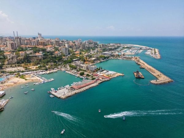
The Satellite images taken on Wednesday show the scale of the explosion and confirm its exact location, a warehouse next to the Beirut Port grain silos. Only a gaping hole filled with water, approximately 460 feet in diameter, is left where the warehouse stood.
Images also showed shattered glass and destruction inside rooms at the American University in Beirut Hospital, 1.86 miles away.
1
The American newspaper reviewed more than 70 videos of the incident and satellite images of its aftermath to understand what happened. According to the newspaper, it was found that the fire spread at full speed, and the huge explosion followed. Thirty-five seconds later, around 6:08 pm, the final explosion took place, which destroyed the entire city.The massive explosion in Beirut was so intense that the blast was felt at least 150 miles away. The Times reviewed more than 70 videos of the incident to better understand what happened and the devastation it left behind. https://t.co/48WnM5UIZ5
— The New York Times (@nytimes) August 6, 2020
In an interview with the newspaper, Rachel Lance, an explosives expert explained “the dark and reddish color of the debris and smoke cloud that towered above the blast suggests two things: that ammonium nitrate was present and that it was not military grade.”
The Satellite images taken on Wednesday show the scale of the explosion and confirm its exact location, a warehouse next to the Beirut Port grain silos. Only a gaping hole filled with water, approximately 460 feet in diameter, is left where the warehouse stood.
Images also showed shattered glass and destruction inside rooms at the American University in Beirut Hospital, 1.86 miles away.
1